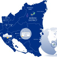
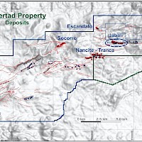
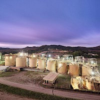
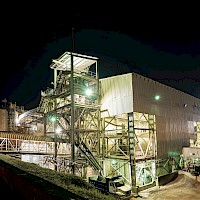
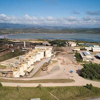
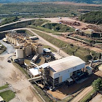
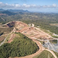
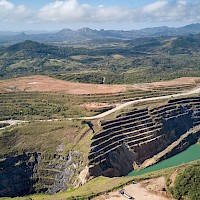
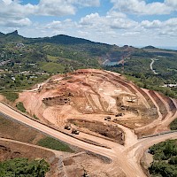
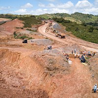
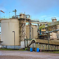
The La Libertad exploitation concession covers an area of 10,937.08 ha and was granted by Ministerial Decree for a 40-year term in 1994. The Project also comprises the Buenaventura and Cerro Quiroz exploration concessions, which are contiguous with the La Libertad exploitation concession and cover a total area of 4,600 ha. The Project is located approximately 110 km east of the capital of Managua and is accessible by road. Click here for mine/project location map.
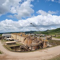
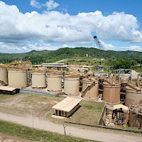
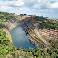
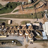
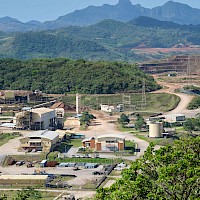
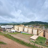
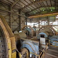
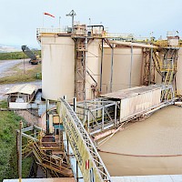
The La Libertad processing plant can treat approximately 2.25 million tonnes per annum (tpa), and current gold recoveries are approximately 94% to 95% for a blend of spent ore and run of mine ("ROM") ore. Currently the mine is fed by ore trucked from the Limon, Pavon and Eastern Borosi gold mines as well ore mined near the mill at the Jabali underground mine. The Jabali underground mine uses a bottom-up sequenced long hole stoping mining method with unconsolidated backfill.
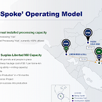
The Libertad mill currently has in excess of one million tonnes of surplus processing capacity and therefore benefits from satellites deposits within a 400km radius.
Calibre’s asset base includes multiple ore sources, 2.7 million tpa of installed mill capacity from two processing facilities (El Limon and La Libertad), reliable in-country infrastructure, and favourable transportation costs. The Company will continue to optimize its consolidated mine and process plans as the Company progresses our “hub-and-spoke” approach to maximizing value from our integrated asset base.
La Libertad Exploration Opportunity
Calibre has an extensive, ongoing, multi-prong approach to all exploration activities. Currently, the Company is advancing an 80,000 metre exploration, resource expansion and discovery drill program with multiple drill rigs operating across the Libertad concessions.
Highlights
- 411 km2 district property position: Libertad: 155 km2; Amalia: 84 km2; El Nispero: 172 km2
- Multiple sub-parallel vein systems mapped at surface
- 20,000 metre drill program underway
- Results demonstrating near surface open pit potential
- Amalia and El Nispero located approximately 30 kms from the Libertad mill
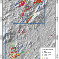
Amalia
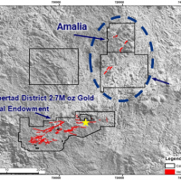
- Newly discovered; 35 km to Libertad mill
- 12 km trend of under-explored epithermal gold veins
- 84 km2 land package with limited exploration and new vein sets discovered during 2020
- Espinoza Vein
- Newly discovered Q1 2020, +1 km strike length, open to NE and at depth, follow-up delineation drilling in progress
- Loma Linda / Margarita Veins
- Four new vein systems discovered Q4, 2020, first pass drilling to start during Q2, 2021
El Nispero
- 172 km2 land package with recently identified vein sets which have never been drilled
- Misterio Veins
- Four new vein systems discovered in H2 2020 with initial drilling scheduled to commence during Q2 2021
- Multi-kilometre vein trends
Geology and Mineralization
La Libertad gold district covers an area of approximately 150 km2 and lies within a broad belt of Tertiary volcanic rocks that have been differentiated into two major units called the Matagalpa and the Coyol Groups. The Oligocene to Miocene age Matagalpa Group consists of intermediate to felsic pyroclastic rocks. Unconformably overlying the Matagalpa Group are Miocene-aged mafic to intermediate lavas of the Lower Coyol unit.
The rocks of the Lower Coyol unit host the gold-bearing low-sulphidation epithermal quartz veins in the La Libertad gold district. Gold mineralization at La Libertad is contained within vein sets along two parallel trends separated by approximately 500 m. The Mojón-Crimea Trend is nearly four kilometres long, strikes 065°, and dips on average 80° to the southeast. The down-dip dimension is commonly in the order of 200 m to 250 m. The massive quartz veins and adjacent stockwork/stringer zones range in width from 2.0 m to 70 m for an average of 15 m, often narrowing at depth. The Santa Mariá-Esmeralda Trend is discontinuous, with the Santa Mariá and Esmeralda veins separated by approximately 1,000 m. The Santa Mariá vein averages 10 m wide and is approximately 450 m long. The Esmeralda Vein has been mined out. Additional mineralization is contained within previously mined material that has been crushed and partly processed by heap leach methods.
Exploration at La Libertad mostly comprises drilling. Other exploration methods include prospecting, geological mapping, geophysical and geochemical surveys, and trenching.
Calibre believes there is potential to outline additional resources along the La Libertad Proper concessions, Amalia concessions and Rosario Concession.
Calibre has a multi-prong approach to all exploration activities. Currently the Company is advancing a 80,000 metre exploration, resource expansion and discovery drill program with multiple drill rigs operating on the Libertad Concessions.
Field crews have been mobilized and are mapping, sampling and advancing generative exploration work.
